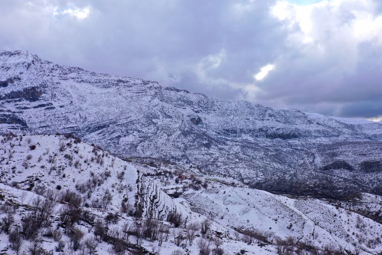
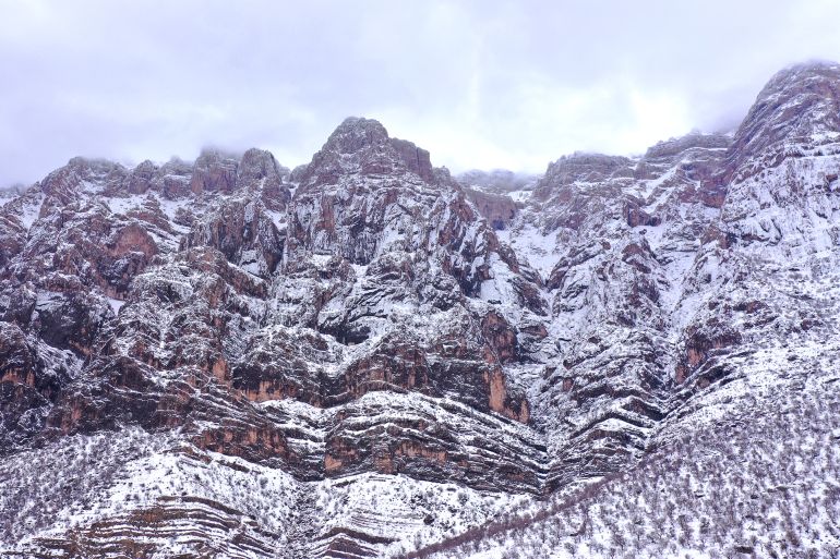
The phrase “hot plate” is often used metaphorically to refer to places experiencing rising political or social tensions. But in northeastern Iraq, in the Sulaymaniyah region, this expression has become a geological reality. Recent research published in the Journal of Asian Earth Sciences confirms that the city sits on an active geological plate, constantly moving and fracturing under the pressure of the collision between the Arabian and Eurasian plates.
This study combined the latest seismic monitoring methods and data analysis to provide the first detailed and reliable map of the Earth’s layers in this active collision belt. It also explains the impact on understanding seismic activity in the region and its mineral wealth of oil and gas.
The researchers began their work by seeking to solve a major problem: the Sulaymaniyah region in Iraq lies above one of the world’s most active continental collision zones, the “Zagros Belt,” where the Arabian Plate collides with the Eurasian Plate. Despite significant seismic activity, there was no available information about the thickness of the Earth’s crust there, how its layers are distributed, where the boundary between the crust and mantle (known as the “Moho”) lies, or whether this boundary is sharp or gradual.
The researchers sought to answer these questions, leading to important breakthroughs in identifying earthquake origin zones, the propagation of seismic waves, and providing information about potential locations for oil and gas accumulation.
How did the researchers answer the questions?
In their study, the researchers used an innovative model to map the Earth’s interior beneath Sulaymaniyah. This was achieved by integrating two complementary seismic methods for the first time in the region, combining “seismic wave analysis” and “surface Rayleigh waves.”
When an earthquake occurs in a distant location, seismic waves emanate from it. The fastest are called “P-waves,” which pass through different Earth layers on their way to a seismic monitoring station. They reflect or refract at the boundary of each layer, changing their shape and speed depending on the type of rock they pass through.
The seismic wave analysis tool relies on reading the “distortion” of that seismic wave upon arrival to understand what it encountered on its journey inside the Earth. This method can be likened to “listening” to how seismic waves arrive at monitoring devices. The difference in the shape of these waves tells scientists what the Earth hides in its depths—rock layers and deep fractures—allowing an understanding of how the Earth’s crust cracks beneath the region.
Waves do not only travel within the Earth during earthquakes; some creep along its surface. These waves are called “Rayleigh waves,” which cause the ground to undulate up and down and are responsible for most of the destruction during earthquakes. They are named after the British scientist Lord Rayleigh, who scientifically described them. They can be compared to water ripples when a stone is thrown into a pond, but they occur on the Earth’s surface instead of water.
The innovative integration of these two tools provided a complete view of what is happening underground. Each seismic tool, if used alone, remains insufficient to achieve this goal. Deep seismic wave analysis is adept at identifying the boundaries between Earth’s layers, such as the crust-mantle boundary, but it does not accurately determine rock speeds and properties.
In contrast, surface seismic waves accurately reveal wave speeds within rocks but are less capable of determining the true depth of those boundaries. This is where the integration of the two methods came into play, allowing the overcoming of what is scientifically known as the “velocity-depth trade-off”—the confusion between whether a change is due to layer depth or the nature of the rocks themselves.
This integration can be likened to one person having a city map without a distance scale and another having a scale without a map. Each sees only half the truth, but when combined, a clear and accurate map of what is hidden underground emerges.